
Solar-site drawing revisions: a survey change-control checklist
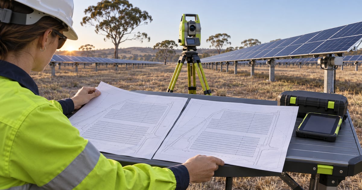
A solar designer shifts a tracker row after the survey team has marked piles. The civil team still holds the previous cable-trench model. Before you book the next set-out visit, identify which crews have used the old revision and which work they have installed.
You need a clear decision for each affected area: withdraw unused information, replace affected set-out, or ask the designer to assess completed work. A revised drawing alone leaves those decisions open. The following checklist helps a project manager brief the survey team and record who can authorise the next step.
Define the change before sending files
Ask the design lead for the superseded and replacement drawing numbers, their revision identifiers and issue status. Include the native model or coordinate schedule where the survey team needs it. Confirm which document governs if the PDF and digital data disagree.
Describe the change by work area and asset identifier. “Updated solar layout” leaves the surveyor to discover whether the designer changed row positions, pile spacing, inverter pads or trench levels. State the affected rows or zones and include the designer’s explanation of changed geometry.
Queensland Transport and Main Roads’ MRTS56 Construction Surveying, section 6 requires its surveyor to check that enough survey information has arrived before undertaking survey work. It lists models, control, drawings and contract documents among the inputs. This roadworks specification illustrates an input check; it does not establish a solar-project approval process. Agree that process under your own contract.
Separate layout changes from reference-system changes
Ask the surveyor to compare the replacement information with the agreed coordinate reference system, height datum and control register. Record units and any project transformation. A designer may move a row within the same reference system, or supply a file in different coordinate terms. The team needs to distinguish those cases before calculating new set-out.
Geoscience Australia explains that GDA94 and GDA2020 use different datum realisations. Renaming a file does not transform its coordinates. Ask the surveyor to resolve mixed-datum inputs and document the adopted approach.
When establishing construction control, MRTS56 requires heights and horizontal coordinates to match the project values in its contract drawings. Use the principle as a briefing check, without importing its roadworks tolerances into solar construction. The responsible designer must specify the applicable tolerances and acceptance criteria.
Find where the previous revision reached the field
Have the superintendent identify the crews, subcontractors and devices using the superseded information. Include survey controllers, machine-guidance files and printed drawings. Check the next work area against the register before issuing replacement files.
Ask the survey team which affected points they have marked and which checks they have recorded. The construction lead should identify installed piles, excavated trenches and completed pads. Keep observations separate from the designer’s acceptance decision. A surveyor can report a measured difference; the person with design authority must decide its treatment under the project’s process.
For affected work awaiting a decision, use the project’s hold procedure. Record the boundary of that hold so the team knows which work requires review. Ask the responsible team to withdraw obsolete instructions and address superseded field marks under the agreed site procedure.
Proposed revision-impact worksheet
Use one row per affected work area or installation group. These fields are a draft starting point for project review, not a mandatory industry form.
- Change identity: Request number, drawing/model IDs, previous and replacement revisions, issue status and issuer
- Physical extent: Tracker rows, pile IDs, pad or trench segments; attached marked-up plan
- Reference check: Coordinate system, height datum, units, control-register version and transformation decision
- Previous use: Recipient crews/devices, set-out report references and installed-work extent
- Required response: File withdrawal, revised calculation, replacement set-out, measured check or designer assessment
- Decision and owner: Named design/site authority, unresolved question, hold boundary and written disposition reference
- Reissue evidence: Replacement file/version, recipient acknowledgement and superseded mark treatment
- Close-out: Check report, construction-release reference, reviewer and date
Leave unresolved entries open. Avoid filling “accepted” against an area because somebody received the new file.
Brief the next survey visit
Send the completed change register with the approved input set and the affected-area plan. Describe the required deliverable: revised set-out, a comparison of installed positions with the replacement design, or both. Give the surveyor the access constraints and the contact who can resolve drawing discrepancies.
After the visit, attach the report to the change record and obtain the required design and site decisions. Keep the superseded input set available for traceability, with a clear withdrawn status. The receiving crew should acknowledge the replacement information before using it.
For the broader project stages, see the existing renewable energy surveying guide. For a revision-specific enquiry, review renewable energy surveying and contact HR Surveyors with the affected area, drawing revisions and requested output. Confirm the available scope before relying on a proposed programme.