
Total Station vs GNSS: Choosing the Right Survey Method
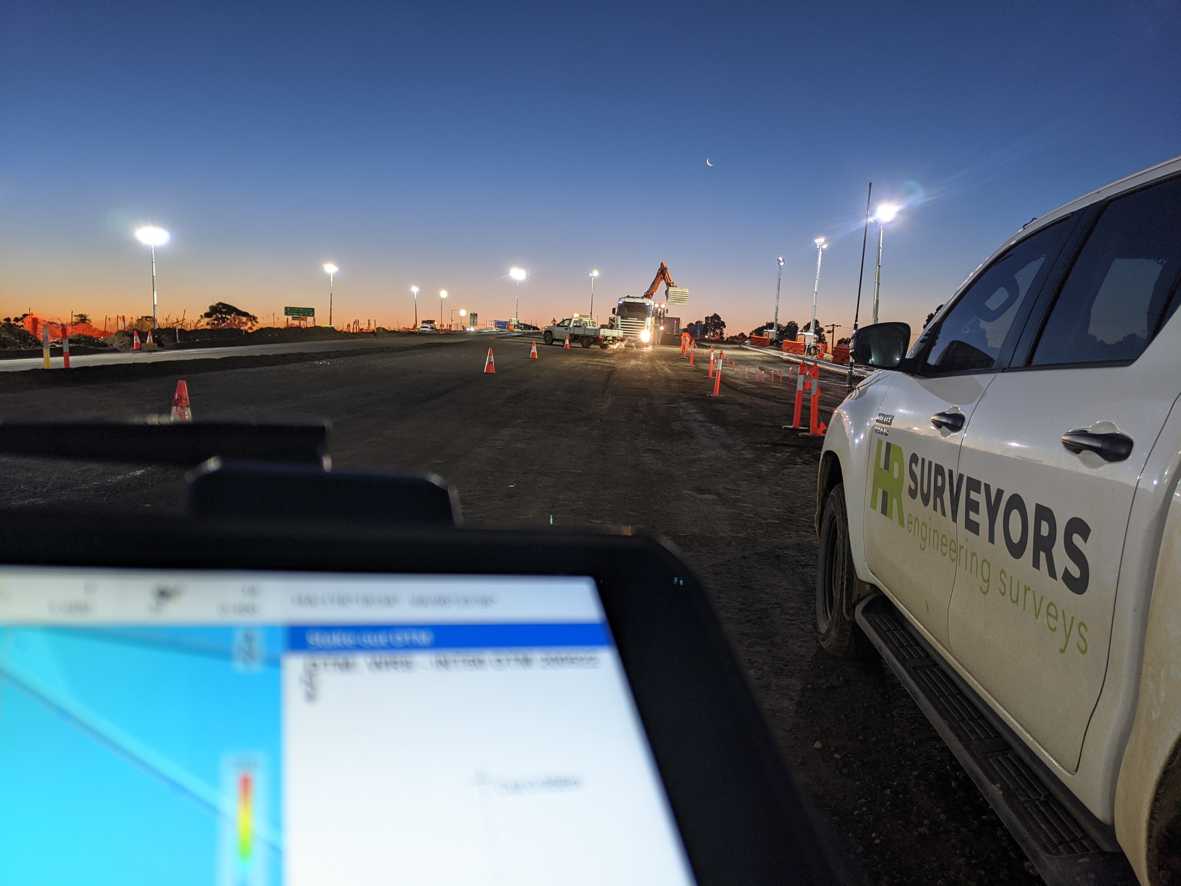
Total stations and GNSS receivers both measure coordinates, but they obtain them in different ways. A total station measures angles and distances along a line of sight. GNSS calculates position from satellite signals and corrections.
The short answer: use a total station when the work needs direct line-of-sight measurement, strong relative geometry or reliable operation around buildings and other sky obstructions. Use GNSS when the site has a clear view of the sky and the project benefits from efficient coverage over a broad area. Many construction and engineering surveys use both because control, set-out, pickup and verification do not all have the same requirements.
The choice should begin with the project tolerance, site conditions and required evidence. Instrument specifications alone do not establish whether a finished survey is fit for purpose.
Total station and GNSS compared
| Factor | Total station | GNSS |
|---|---|---|
| Measurement basis | Horizontal and vertical angles plus distance to a prism or surface | Satellite observations combined with correction data |
| Main site requirement | Clear line of sight between instrument and target | Clear, reliable sky view and suitable corrections |
| Typical strength | Tight relative work, structures, set-out and obstructed sites | Broad open sites, terrain pickup and efficient long-range coverage |
| Common limitation | Each setup and target needs sight lines tied to control | Buildings, canopy, cuttings and reflective surfaces can degrade signals |
| Height work | Strong when setup, target height and geometry are controlled | Vertical performance is usually more sensitive to conditions than horizontal positioning |
| Output | Observations and coordinates tied to the site control network | Coordinates tied to the selected datum and correction service or base |
For a plain-language explanation of the instrument, see what is a total station?.
When a total station is the better fit
A total station is often selected for building grids, footings, structural elements, service set-out, hardstand levels, as-built checks and monitoring. It can work indoors, under structures and beside tall buildings because it does not depend on satellite visibility.
The instrument still needs a sound setup. The result depends on the quality and stability of control, centring and levelling, sight length and geometry, prism or surface, atmospheric settings, calibration, checks and field procedure. Reflectorless measurement is useful for surfaces that are unsafe or difficult to reach, but the target material and angle of incidence can affect the result.
Line of sight is the practical constraint. Plant, walls, excavations, traffic and changing site conditions may force additional setups. Each setup must be connected and checked so that small errors do not accumulate through the job.
When GNSS is the better fit
GNSS is efficient for open construction sites, broad topographic pickup, road and utility corridors, earthworks surfaces and establishing positions across longer distances. A rover can move between points without maintaining a sight line to an instrument.
Satellite visibility and signal quality matter. Tree canopy, buildings, deep cuttings, bridges, metal surfaces and operating plant can block or reflect signals. A receiver may show a solution status while the observation geometry is poor, so the surveyor also reviews quality indicators and checks observations against control.
GNSS also depends on the correction method and coordinate framework. The brief should identify the required datum, projection and height system. A coordinate can look precise on screen and still be unsuitable if it is tied to the wrong project grid or vertical datum.
Accuracy: ask about the survey, not only the instrument
Manufacturers publish angle, distance and positioning specifications under stated conditions. Those specifications help select equipment, but a project result also depends on:
- the required tolerance and how it will be tested;
- control quality, distribution and stability;
- setup geometry and observation length;
- satellite visibility and correction quality for GNSS;
- prism, reflectorless surface and atmospheric settings for total stations;
- independent checks and repeat observations;
- data reduction, transformations and the project datum;
- the feature being measured and how clearly it can be defined.
For example, the top of a rough earthworks surface cannot be interpreted like a machined steel edge. The survey method and observation density should match the physical feature and the decision that follows.
Where an infrastructure owner or project specification prescribes a method, accuracy class or reporting format, that requirement takes priority over a general equipment comparison. Main Roads Western Australia’s Construction Surveying Guideline, for example, limits RTK GNSS for some pavement and structural vertical work. That is an owner-specific rule, not a universal statement about every Australian project.
A combined workflow is often stronger
The two methods solve different parts of the same project:
- GNSS can connect a site to the nominated coordinate framework and cover broad open ground.
- A total station can transfer and densify control where sky view is poor.
- Set-out can use the method that suits the feature and tolerance.
- Independent observations can test control and catch setup or transformation problems.
- The final report can document which method was used for each deliverable.
On an active civil site, GNSS may support broad earthworks pickup while a total station handles kerbs, structures, drainage and local as-built checks. In a rail or urban corridor, GNSS may work in open sections and a total station may carry the survey through stations, under bridges or beside structures.
Choosing by task
| Survey task | Likely starting method | Questions that can change the choice |
|---|---|---|
| Building and structural set-out | Total station | What tolerance, control and verification does the engineer require? |
| Open-ground topographic pickup | GNSS or combined survey | Are there trees, buildings, batters or hidden features? |
| Earthworks and stockpile surface | GNSS, drone or combined survey | What base surface, boundary, density and repeatability are required? |
| Indoor or under-structure survey | Total station or laser scanning | Are sight lines available and what detail must be captured? |
| Long infrastructure corridor | Combined workflow | Which owner standard, datum, access controls and feature codes apply? |
| Monitoring | Total station, levelling or specialised sensors | What movement threshold, reference stability and observation frequency apply? |
Deliverables to specify
Method selection is easier when the output is clear. Confirm whether the project needs:
- set-out points or marks with field records;
- feature and level data for design;
- a surface model, contours or cross-sections;
- as-built coordinates and comparisons with design;
- a control report and mark schedule;
- observation records, checks or an accuracy statement;
- CAD, GIS, machine-control or asset-owner formats.
The same field observations can be inadequate if the required attributes, naming, datum or report format were never defined.
Method-selection checklist
Before booking the survey, confirm:
- What will be designed, built, checked or paid from the result?
- What tolerance and acceptance test apply?
- Which features must be directly measured?
- Does the site have reliable sky view, clear sight lines, or both?
- What control exists and who is responsible for verifying it?
- Which datum, projection, local grid and height system are required?
- Does an asset owner or contract specify methods or deliverables?
- What independent checks and records must accompany the work?
- Will the survey need to be repeated and compared later?
- Who will review and accept the final files?
Common questions
Which is more accurate: a total station or GNSS?
A total station generally suits work requiring tighter relative measurement, while GNSS generally suits efficient positioning across open areas. The defensible answer for a project depends on control, conditions, equipment, procedure, feature definition and the specified tolerance. Ask how the delivered survey will be checked rather than relying on one headline figure.
Can GNSS be used near buildings or trees?
It can be used where the surveyor can obtain and verify a reliable solution, but canopy and structures may block or reflect satellite signals. If conditions are poor, a total station or another ground method can continue the survey from verified control.
Can a total station work without a prism?
Many instruments can measure directly to a surface in reflectorless mode. Suitability depends on the surface, range, angle and required tolerance. Prism observations remain useful for controlled, repeatable measurements.
Why use both methods on one project?
GNSS can cover open ground and connect control efficiently, while a total station can handle tight, obstructed or feature-specific work. Using both also allows planned checks between methods where the project risk justifies them.
For a project-specific scope, see our construction surveying services and survey accuracy and tolerances guide, or contact HR Surveyors with the drawings, specification, site conditions and required deliverables.
Primary source
- Main Roads Western Australia, Construction Surveying Guideline, especially sections 2, 4, 5 and 7, accessed 15 September 2026.