Australia's leading professional drone surveying services delivering UAV LiDAR and aerial mapping with survey-grade accuracy. Our CASA-certified operations combine advanced drone technology with licensed surveying expertise for construction, mining, and infrastructure projects nationwide.
Experience the difference of working with Australia's leading surveying professionals. Precision Delivered since 2012.
Pioneering drone surveying in Australia with advanced LiDAR and photogrammetry capabilities for rapid, accurate data collection across any terrain.
Access challenging or dangerous sites safely with our certified drone pilots and advanced UAV fleet, delivering data where traditional methods can't reach.
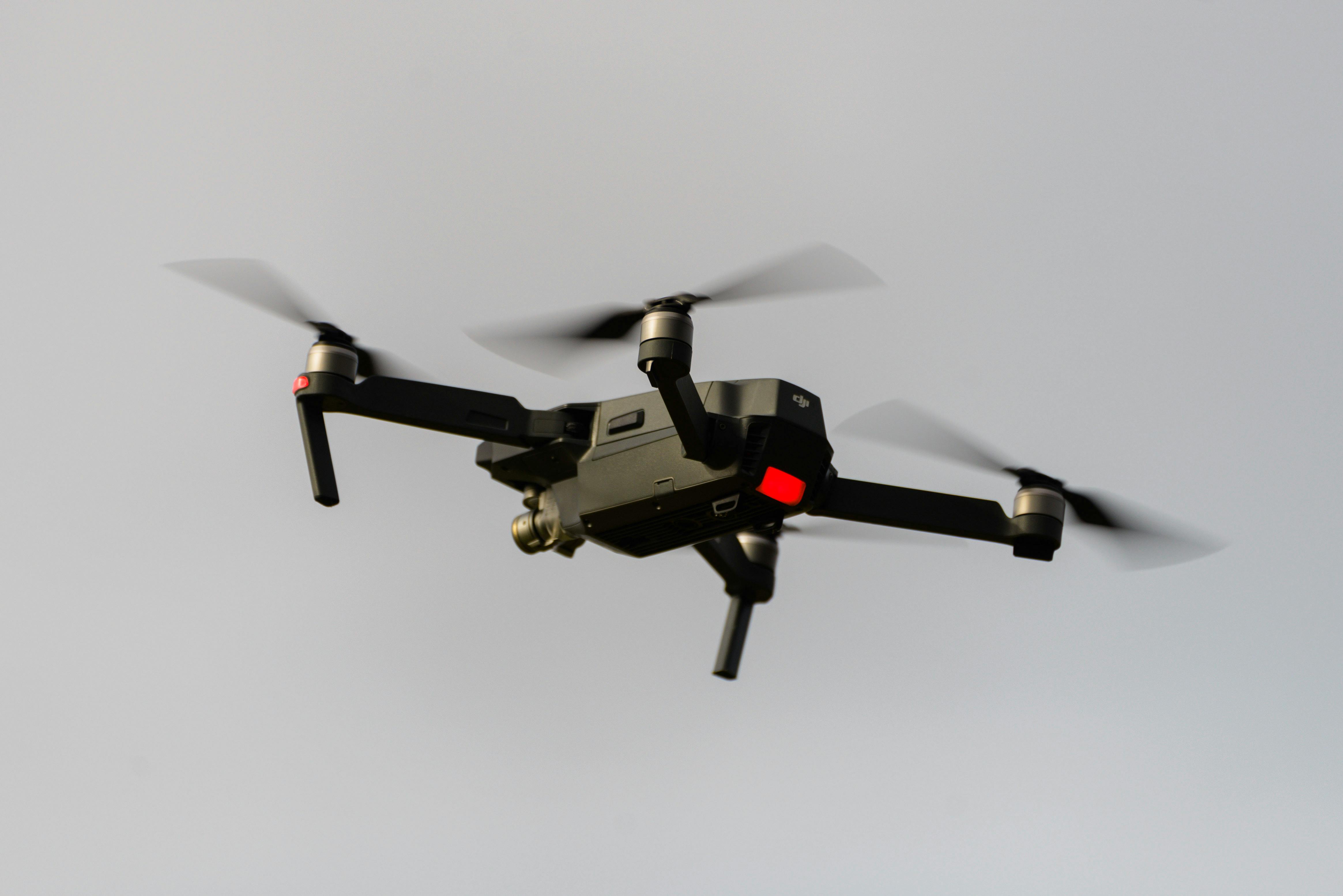
State-of-the-art drone LiDAR, high-resolution cameras, and real-time processing delivering detailed topographic maps, 3D models, and volumetric analysis.
HR Surveyors provides professional drone surveying services across Australia with 70+ professional surveyors and CASA-certified survey drone operations. Unlike pure-drone operators, we integrate aerial data collection with traditional surveying expertise, delivering survey-grade accuracy for drone land surveying, construction monitoring, mining stockpile surveys, infrastructure mapping, and volumetric calculations. Our national coverage includes Melbourne, Geelong, Brisbane, Gold Coast, Perth, and Adelaide offices.
Advanced drone LiDAR technology providing vegetation penetration and high-accuracy elevation data for terrain analysis, stockpile volumetric surveys, and mining applications. Our survey-grade LiDAR delivers precise point clouds and digital terrain models where traditional photogrammetry cannot penetrate vegetation canopy.
High-resolution aerial photography processed into detailed orthomosaics, 3D terrain models, and topographic surveys. Perfect for construction progress monitoring, site documentation, earthworks quantification, and visual project communication with millimetre accuracy when combined with ground control.
Specialized drone surveys for mining and construction stockpile volume calculations. Rapid data collection delivers accurate volume measurements, pit progression monitoring, and reconciliation surveys, integrated with our traditional surveying for verified results.
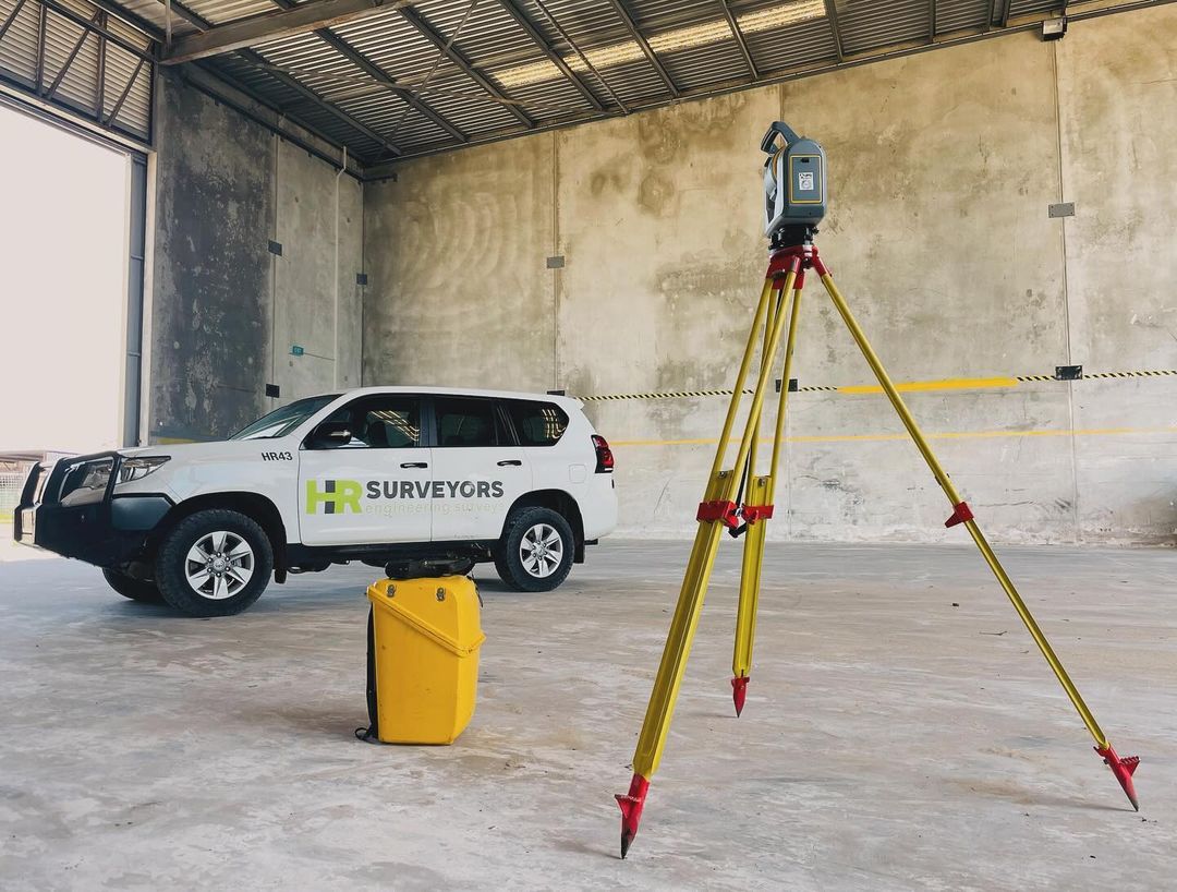
Unlike standalone drone operators, HR Surveyors combines UAV capabilities with 12+ years of licensed surveying expertise. Our CASA-certified pilots work alongside professional surveyors to deliver data that meets strict engineering and construction accuracy requirements.
Survey-grade accuracy with RTK/PPK correction and ground control integration
Professional UAV platforms (DJI, Wingtra), Riegl and Velodyne LiDAR sensors, Sony Phase One cameras
CASA certified operations (ReOC 5661), professional surveyors, ISO 9001 quality systems
With RTK/PPK correction and properly placed ground control points, drone photogrammetry typically achieves horizontal accuracy of ±20–50 mm and vertical accuracy of ±30–50 mm — sufficient for construction monitoring, earthworks quantification, and topographic mapping. Drone LiDAR achieves similar or better accuracies and works in vegetated areas. For structural set-out and construction control that requires ±5–10 mm accuracy, traditional total station methods remain the appropriate choice. We often combine both methods for optimal results.
Yes. Our UAV operations are conducted under a CASA-issued ReOC (Remotely Piloted Aircraft Operator Certificate), meaning all commercial drone flights are fully regulated and insured. Our pilots are experienced in operating within controlled airspace, near infrastructure corridors, and on complex construction sites.
Photogrammetry uses overlapping aerial photos to generate 3D models and is cost-effective for open terrain and construction sites. LiDAR uses laser pulses that penetrate vegetation canopy gaps to capture the true ground surface below — essential for sites with trees, scrub, or rough terrain. We recommend photogrammetry for clear-terrain sites and LiDAR or a hybrid approach where vegetation penetration is needed.
Yes. Our Loganholme office provides drone surveying across Brisbane, Gold Coast, Logan, Ipswich and the wider South East Queensland corridor. We combine CASA-certified UAV operations with professional surveyors for construction, mining, infrastructure and development projects. Our drone surveying Brisbane page covers local project support and service areas.
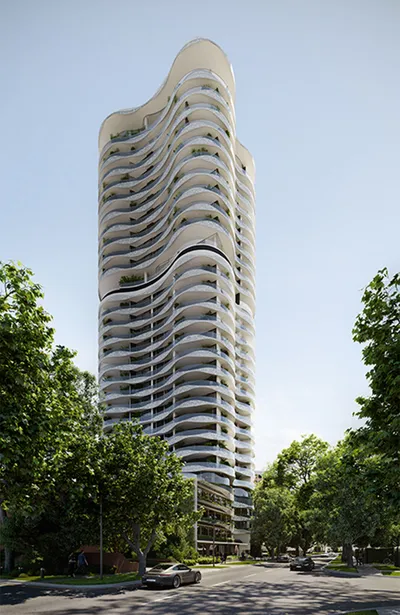
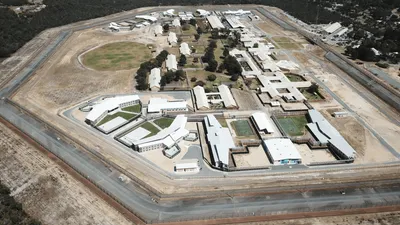
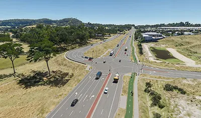
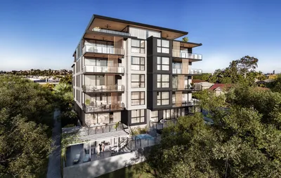
Explore our portfolio of successful projects demonstrating our expertise and precision delivery across diverse challenges.


Includes Beckenham, Carlisle, Queens Park, Cannington, and Oats Street Stations
Ready to see your project delivered with the same precision and expertise?
Start Your ProjectDiscover complementary surveying services often combined with this solution for comprehensive project delivery.
CASA-certified drone photogrammetry and LiDAR mapping for broad-area site context and terrain modelling.
CASA-certified drone mapping services delivering high-resolution aerial data for construction, mining and infrastructure sites.
Drone-based inspection for infrastructure and asset condition, complementing mapping and topographic surveys with visual and LiDAR inspection data.
Many clients choose to combine multiple surveying services for comprehensive project coverage and enhanced value delivery.
Join thousands of satisfied clients who trust HR Surveyors for their most important projects. Get your free consultation today and discover why we're Australia's leading surveying professionals.