Professional land surveying services in Toowoomba and throughout the Darling Downs region. Our qualified surveyors provide accurate boundary surveys, property development support, and subdivision services with local expertise in Queensland regulations and requirements.
Experience the difference of working with Australia's leading surveying professionals. Precision Delivered since 2012.
Deep expertise in Australian land surveying standards and regulations, ensuring accurate boundary definitions and compliance with state requirements.
Comprehensive land surveying across all Australian states with local teams understanding regional variations in regulations and requirements.
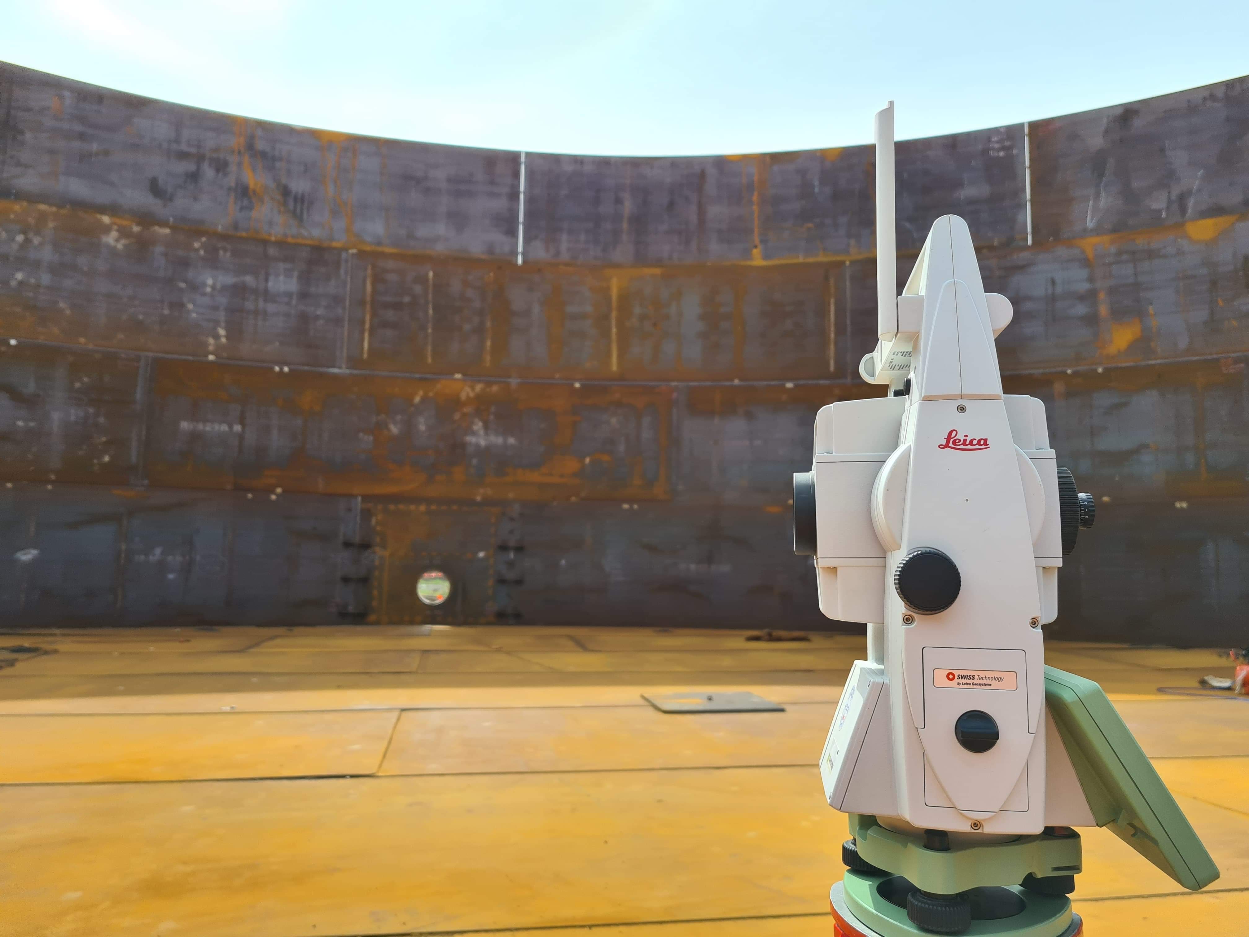
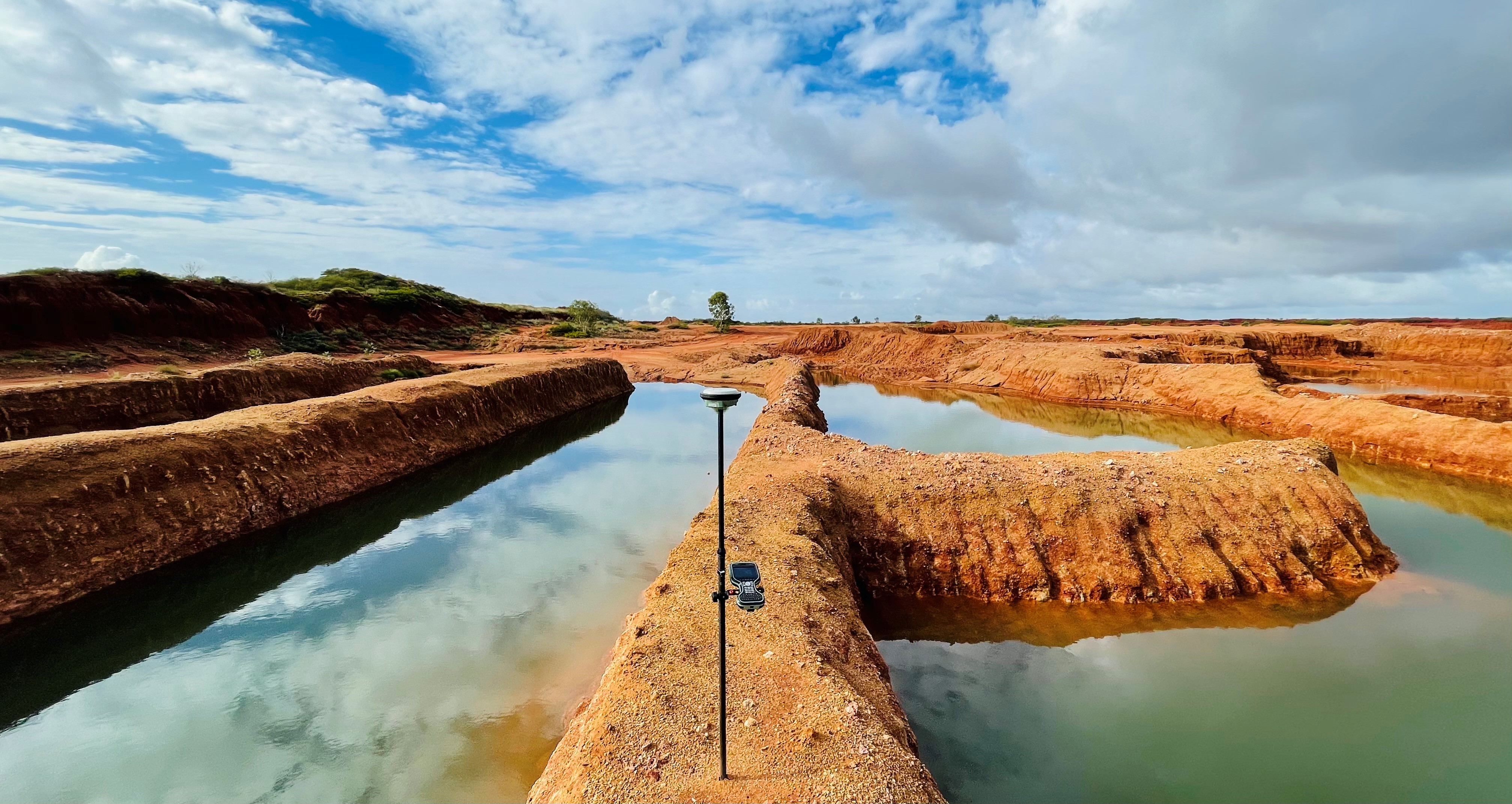
High-accuracy GPS, total stations, and digital mapping systems delivering reliable boundary surveys, subdivisions, and property assessments.
HR Surveyors provides professional land surveying services throughout Toowoomba and the Darling Downs region. Our qualified surveyors combine technical expertise with local knowledge of Queensland regulations to deliver accurate boundary surveys, property development support, and subdivision services. With our Queensland office in Loganholme, we provide responsive service to Toowoomba and surrounding areas, ensuring your property projects meet all regulatory requirements and achieve successful outcomes.
Comprehensive boundary surveys and property documentation for Toowoomba properties. Our cadastral surveys provide accurate boundary definition essential for property transactions, development planning, and legal compliance with Queensland regulations.
Professional subdivision services for residential and commercial developments in Toowoomba. We provide detailed subdivision planning, lot design, and regulatory compliance support from initial concept through to final registration.
Specialized surveying support for property development and construction projects throughout the Darling Downs. Our services include site analysis, set-out surveys, and as-constructed documentation for all types of development projects.
Toowoomba is one of Queensland's fastest-growing regional cities, and that growth is driving steady demand for land surveyors. New residential estates on the city fringe, rural-residential blocks across the Darling Downs, and commercial developments around the CBD all require boundary surveys, subdivision plans and construction set-out before a single machine moves on site.
Outside the city, our surveyors regularly work in the Lockyer Valley and Granite Belt. Irrigated cropping properties around Gatton and Laidley need accurate boundary definition for fencing, irrigation works and farm infrastructure, while orchard and vineyard blocks near Stanthorpe and Warwick rely on survey-accurate layouts for plantings and new buildings. Rural surveys across these areas often cover large holdings, where GPS-based methods deliver the efficiency that traditional chain work cannot match.
Toowoomba's infrastructure program has also expanded the surveying workload — the Toowoomba Second Range Crossing, Wellcamp Airport, and upgrades to the Warrego Highway have all required corridor surveys, earthworks quantification and as-constructed documentation. If you are building near any of these corridors, or your land is affected by an infrastructure project, a survey is often the first step in resolving boundary and easement questions. For bigger aerial jobs, our drone 3D mapping services in Brisbane cover Toowoomba and South East Queensland.
Our team is based at our Queensland office in Loganholme with Brisbane support, and we travel to Toowoomba and surrounding shires as part of our standard service area. See our land surveying services page for the full range of what we do.
Cadastral survey precision meeting Queensland standards
Advanced GPS systems, total stations, digital mapping technology
Compliant with Queensland surveying regulations and standards
Explore our portfolio of successful projects demonstrating our expertise and precision delivery across diverse challenges.


Ready to see your project delivered with the same precision and expertise?
Start Your ProjectA Toowoomba land surveyor handles boundary and title re-establishment surveys, identification surveys, subdivision design and plan lodgement, construction set-out, feature and level surveys, and drone mapping for larger sites. HR Surveyors provides these services across Toowoomba, the Darling Downs, Lockyer Valley and Granite Belt, supported by our Loganholme office.
A land survey in Toowoomba starts with research of the registered title and survey records, followed by field measurement with GPS and total station equipment, placement of survey pegs and boundary marks, and a survey plan prepared to Queensland standards for lodgement with Titles Queensland where required. You receive a clear report of the results and any encroachments or discrepancies found.
A standard residential boundary survey is typically completed within 5-10 business days of site access. Subdivision surveys, larger rural properties and projects requiring council approval take longer depending on complexity. We provide a confirmed turnaround when quoting.
Fees vary with the survey type, property size and terrain. Boundary re-establishment, identification and set-out surveys are quoted individually after a free consultation, and the quote is fixed before work starts. Contact us for a no-obligation Toowoomba quote.
Yes. Our surveyors work throughout the Darling Downs region, including Gatton, Laidley, Oakey, Pittsworth, Warwick, Stanthorpe and the Granite Belt, plus the Lockyer Valley. Rural property surveys across these areas are a regular part of our Queensland workload.
Trust HR Surveyors for accurate land surveying services throughout Toowoomba and the Darling Downs region. Our Queensland-based surveyors understand local requirements and deliver reliable results for your property needs.