
Engineering Survey Adelaide: Choose the Right Survey for Each Project Stage
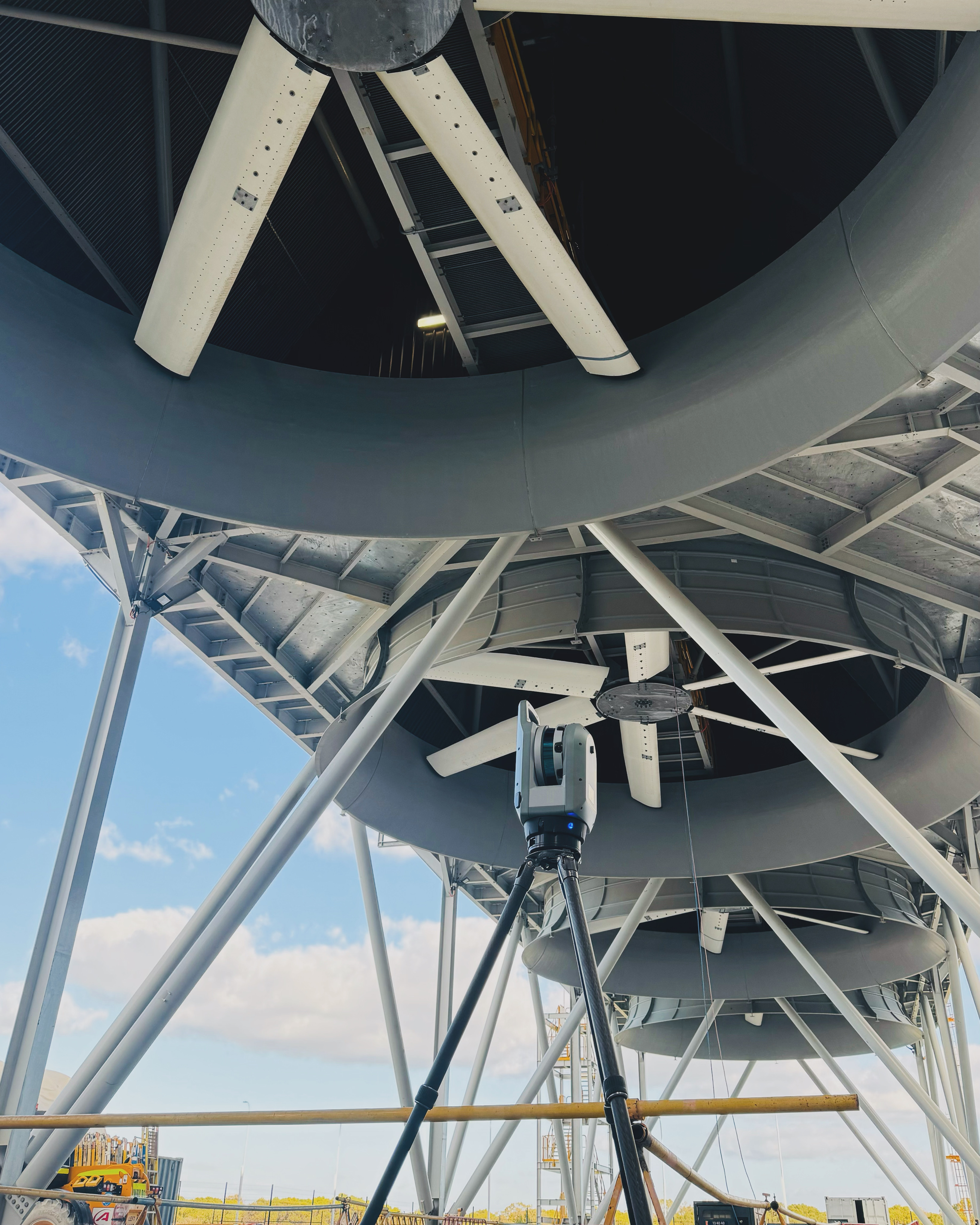
Most Adelaide projects benefit from matching the survey to the decision in front of them. A feature survey may be right for design, while set-out or a final record of completed work needs its own scope. Decide that before fieldwork begins.
This guide helps South Australian builders, civil contractors, developers and project managers choose that scope. HR Surveyors provides engineering and construction surveying, not cadastral or boundary surveys. If you need a legal boundary defined, engage a licensed cadastral surveyor. If you need reliable information for design, construction or handover, this guide is for you.
The short answer: which survey you need at each SA project stage
Start with the decision, the design revision and the required output. The project specification, approval conditions and receiving authority determine the accuracy, format and evidence required. Do not assume a survey prepared for one stage is suitable for the next.
Use the table as a scope guide. The work may be carried out in a different sequence on your project, but each step should use the coordinate reference system, height datum and deliverable agreed in the brief.
| Survey type | When in the project | What you receive | Datum / standard reference | HR Adelaide page |
|---|---|---|---|---|
| Feature & level / topographic | Before design and DA | CAD/PDF plan of the agreed existing features, levels and site conditions | Confirm project coordinates, height datum and output requirements in the brief | Feature & level survey Adelaide, land surveyors Adelaide |
| Construction set-out | During construction | Marks and records for the approved design elements in the scope | Tolerances, control and checks set by the design and project specification | Construction set-out survey Adelaide |
| Structural verification / monitoring | During and after construction | Survey records, deviation information or movement observations when required | Stable control and the agreed design, tolerance and reporting requirements | Engineering surveyors Adelaide |
| Civil control & machine control | Civil and infrastructure works | Control, machine-control models, terrain data and conformance support as scoped | Client, contract and receiving-authority requirements | Civil construction surveying Adelaide |
| As-built / as-constructed | At handover | Completed-work drawings, data and validation in the agreed format | Confirm the receiver’s current requirements before construction starts | As-built survey Adelaide |
For specialist or regional work, two further pages sit alongside these: engineering survey support for the state’s resources and renewables build runs through mining & resources surveying South Australia, and construction survey support for the Osborne and Edinburgh precincts through defence infrastructure surveying Adelaide.
Choose the scope before you schedule it
This is the survey-selection guide. It answers what work belongs in the scope and what information should be agreed before the survey starts. For project milestones, procurement and timing, read our construction survey scheduling guide.
Before design or DA: feature & level and topographic surveys
A feature and level survey gives a design team an agreed record of the existing site conditions in the scope. It can include structures, visible services, trees, access, spot levels and contours, with the outputs agreed before work starts.
A feature and level survey is not a boundary survey. It records site conditions and levels; it does not define legal property boundaries. In South Australia, only a licensed surveyor may carry out a boundary survey or place a defining mark.1
Every development application needs a site plan, but the supporting information depends on the proposal and the relevant authority. PlanSA’s guidance is the right starting point. Confirm with the project team whether an existing-conditions survey, levels or other information is needed before design or lodgement.2 Our feature & level survey Adelaide and land surveyors Adelaide pages explain the service scope in more detail.
During construction: set-out, site control and structural monitoring
Construction set-out turns the approved design into marks and measurements on site. The brief should state the current design revision, elements to set out, required tolerance, control requirements and the records the client needs back.
That scope may also include checks or monitoring for a structure. The method depends on the project, site conditions and specified tolerance. Protect control marks, document any change to the design or control, and ask the surveyor to explain how the agreed checks will be recorded. See our construction set-out survey Adelaide, engineering surveyors Adelaide, Total Station vs GNSS guide and survey accuracy and tolerances guide. If you need a broader picture of what the surveyor actually does on site day to day, read our guide to what engineering surveyors do.
Civil & infrastructure projects: control, machine control and conformance
Civil and infrastructure work can add control networks, machine-control models, terrain data and conformance records. The right outputs depend on the contract, design, construction method and the organisation that will receive the final information.
Ask for the receiving authority’s current requirements at the start. If a data specification such as A-SPEC applies, agree it in writing and plan the capture before work covers the asset. The A-SPEC documentation itself makes clear that requirements can vary by client and region.5 Our civil construction surveying Adelaide page covers this work, while mining & resources surveying South Australia, our renewable energy surveying guide and projects provide related examples and context.
At handover: agree the completed-work record early
An as-built or as-constructed survey records completed work in the format agreed for the project. The receiving authority, asset owner or contract determines what must be captured, how it is checked and what supporting information is required.
Confirm those requirements before construction starts. Then make sure the capture sequence records assets before they are no longer accessible, uses the current design revision and retains the agreed coordinate and height references. Our as-built survey Adelaide team can help define that scope with the project team.
Datum & standards that matter in SA
GDA2020 is Australia’s national geodetic datum. MGA2020 is the map grid based on that datum. The Australian Height Datum, or AHD, remains the national height datum, and AUSGeoid2020 supports the calculation of AHD height estimates from GNSS observations.34
In practical terms, state the coordinate reference system, height datum, existing data source and required output in the brief. If the project inherits older data, ask the surveyor to review it before fieldwork. Do not assume the same reference system applies across every drawing, model and existing file.
How to brief a surveyor for an SA project
A good brief names the decision the survey supports. “Survey the site” leaves important questions open. A useful brief says what you need captured, which design revision applies, the required output and who will sign it off.
- What decision will the survey support: design, set-out, conformance or handover?
- Which design revision, tolerance and site constraints apply?
- What coordinate reference system and height datum are required?
- Which approval condition, contract requirement or receiving-authority standard applies?
- What is in scope and what is excluded?
- Which output is needed: CAD, PDF, LandXML, point cloud, report or asset data?
- Who receives the deliverable and what do they need to check?
HR Surveyors provides engineering and construction surveying, including feature and level, set-out, monitoring, civil control and as-built work. For a legal boundary, engage a licensed cadastral surveyor.
Common questions
Do I need a boundary surveyor or a feature and level survey?
Choose a boundary survey when you need a legal boundary defined. Choose a feature and level survey when the project needs agreed existing site information for design or construction. The required scope depends on the project and the relevant authority. HR Surveyors provides engineering and construction surveying, not cadastral boundary surveys.
What is the difference between an as-built and an as-constructed survey in SA?
The terms can be used differently by clients and receiving authorities. Both refer to recording completed work, but the required drawing, data, coordinate references and checks are project-specific. Confirm the receiver’s current requirements before the work begins.
What survey do I need before lodging a development application in SA?
PlanSA requires a site plan for every development application. The supporting information varies by proposal and relevant authority. Ask the project team which existing-condition information, levels and survey scope are needed before design and lodgement. A feature and level survey does not redefine a legal boundary.
Does HR Surveyors have a local SA team and capacity for major projects?
Yes. HR Surveyors operates from an Edinburgh North office at 28 Peachey Road, SA 5113, with engineering and construction surveyors who cover Adelaide and regional South Australia. As an ISO 9001-certified firm established in 2012 with 70-plus professionals across five offices, HR supports both single-visit set-out jobs and multi-stage civil, infrastructure and development programmes, mobilising to metropolitan and regional SA sites from the local base.
Sources
- Department for Housing and Urban Development, South Australia. Cadastral surveying.
- PlanSA, Government of South Australia. Site plan.
- Geoscience Australia. Geocentric Datum of Australia 2020.
- Geoscience Australia. AUSGeoid2020.
- A-SPEC. DDS introduction and overview, version 5.
Planning an Adelaide or South Australian project and not sure which survey fits the next decision? Contact HR Surveyors with the project stage, current design revision and required outcome. We will help scope the right approach.