Drone 3D mapping on the Gold Coast with centimetre-level accuracy, tied to survey control on GDA2020/AHD. We deliver orthomosaics, DTMs, point clouds, contour plans and volume reports for construction, development and coastal projects across South East Queensland.
Experience the difference of working with Australia's leading surveying professionals. Precision Delivered since 2012.
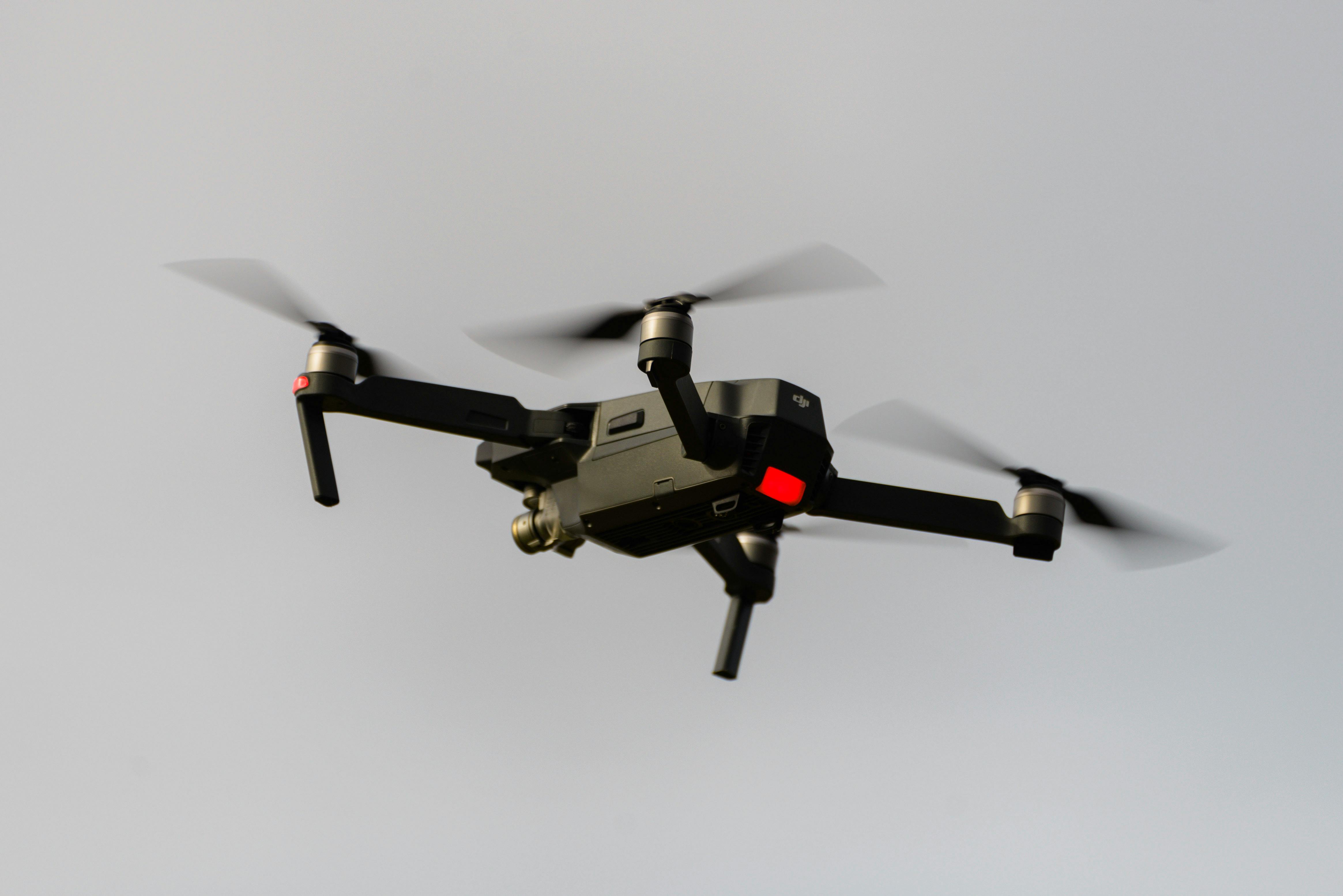
Pioneering drone surveying in Australia with advanced LiDAR and photogrammetry capabilities for rapid, accurate data collection across any terrain.
Access challenging or dangerous sites safely with our certified drone pilots and advanced UAV fleet, delivering data where traditional methods can't reach.
State-of-the-art drone LiDAR, high-resolution cameras, and real-time processing delivering detailed topographic maps, 3D models, and volumetric analysis.
HR Surveyors provides drone 3D mapping across the Gold Coast and South East Queensland, combining CASA-certified UAV operations with licensed surveyor oversight. Flights are tied to ground control points (GCPs) and delivered on GDA2020/MGA coordinates with heights on AHD, so the data works directly in engineering design, machine control and compliance reporting. For projects further north, our Brisbane drone 3D mapping team covers the rest of SEQ.
Advanced 3D terrain modelling using drone LiDAR and photogrammetry for Gold Coast projects. We create detailed elevation models, slope analysis, and volumetric calculations essential for earthworks planning, drainage design, and site development in the diverse Gold Coast landscape.
High-precision topographic surveys using UAV technology for Gold Coast construction and development projects. Our drone mapping services capture detailed elevation data across large areas, providing essential information for urban planning, design, and environmental compliance in the Gold Coast region.
Comprehensive 3D site analysis using advanced drone technology for Gold Coast properties and developments. We provide detailed 3D models, contour mapping, and visual analysis that support informed decision-making for construction and land development projects in South East Queensland.
From greenfield estates in the northern corridor to the coastal strip, the Gold Coast's mix of fast development and sensitive coastline suits aerial capture well.
Greenfield estates across the northern Gold Coast corridor need design-level terrain data before grading begins. A single flight delivers contours and volumes across hundreds of lots, then monthly re-flights track earthworks against the design model.
Southport, Surfers Paradise and the broader coastal strip run high-density builds where site conditions change fast. Drone mapping documents existing conditions, verifies cut-and-fill volumes, and records progress for claims and handover. Surveyor-backed 3D survey capture keeps this data defensible on commercial projects.
Foreshore and dune surveys along the Gold Coast coastline capture beach profiles and elevation change over time. Repeat flights over the same control points quantify erosion or sand movement in centimetres, giving councils and coastal engineers a consistent record of seasonal change.
Quarries and material stockpiles west of the coast need regular volumes for reconciliation and compliance. Survey-grade drone flights measure stockpile volumes without putting crews on unstable material, with reports that stand up to audit.
Working further north? Our drone 3D mapping Brisbane team covers the rest of South East Queensland.
Centimetre-level plan and height accuracy (typically 2-5 cm) with GCPs and RTK correction, tied to GDA2020/MGA and AHD
Professional UAV platforms, LiDAR sensors, high-resolution cameras, GNSS survey control
CASA certified operations, survey-grade 3D data quality
Every job is scoped around the outputs your design or approval actually needs, delivered on a common datum so nothing needs re-surveying.
Georeferenced high-resolution aerial image stitched from thousands of photos, at centimetre-per-pixel resolution. Delivered as geoTIFF for CAD and GIS use.
Bare-earth digital terrain model and surface model rasters on AHD, ready for grading design, drainage modelling and cut-and-fill calculation.
Classified LAS/LAZ point cloud from photogrammetry or LiDAR, suitable for clash analysis, as-built comparison and machine control surface generation.
CAD-ready contour plans with levels on AHD, produced to the interval your design or approval needs.
Cut-and-fill and stockpile volume reports with surveyor sign-off, suitable for payment claims, reconciliation and compliance submissions.
Need a single product rather than a full package? Our contour map drone service handles contour-only jobs, and our aerial drone mapping services page covers the full range of UAV data products available Australia-wide.
Share your site details or drawings and we prepare a fixed quote. No field work starts until the scope, accuracy and deliverable set are agreed.
We check airspace, weather and site access, then establish ground control points with GNSS tied to GDA2020/MGA and AHD. Good control is what makes drone data survey-grade.
CASA-certified crews fly photogrammetry or LiDAR missions, typically completing single-site capture in one to three hours including control setup and safety checks.
Images and LiDAR returns are processed into orthomosaics, point clouds and terrain models, checked against control for accuracy.
You receive CAD-ready plans and reports, usually within three to five working days, in the formats your design team actually uses.
Want the technical background first? Our drone surveying guide breaks down photogrammetry, LiDAR and when each fits your project.
Drone 3D mapping captures hundreds of overlapping aerial photos (or LiDAR returns) and processes them into accurate 3D data: an orthomosaic image, digital terrain model (DTM), digital surface model (DSM) and point cloud. It produces design-ready survey data over large sites in a fraction of the time ground-based methods take.
When flights are tied to surveyed ground control points (GCPs), photogrammetric mapping typically achieves 2-5 cm accuracy in plan and height. Levels are delivered on AHD and coordinates on GDA2020/MGA, so the data works directly with engineering design and machine control.
Most single-site captures are flown in one to three hours, including GCP setup and safety checks. Processed deliverables are typically ready within three to five working days. Sites under construction can be re-flown weekly or monthly to track earthworks and progress.
Standard packages include a georeferenced orthomosaic (TIFF), DTM and DSM rasters, a classified point cloud (LAS/LAZ), CAD-ready contour plans (DXF) and volumetric reports where stockpiles or cut-and-fill are involved. All data is delivered on AHD/GDA2020 for direct design use.
Cost scales with site area (priced per hectare), terrain and access, required accuracy, point density, and whether the job uses photogrammetry or LiDAR. Ground control installation, controlled airspace approvals and report formatting add scope. Quotes are provided free before any field work.
Yes. Commercial UAV work operates under CASA rules, and parts of the Gold Coast fall in controlled airspace around Gold Coast Airport. We hold the required certifications and manage airspace approvals as part of the quote.
Explore our portfolio of successful projects demonstrating our expertise and precision delivery across diverse challenges.


Includes Beckenham, Carlisle, Queens Park, Cannington, and Oats Street Stations


Ready to see your project delivered with the same precision and expertise?
Start Your ProjectDiscover complementary surveying services often combined with this solution for comprehensive project delivery.
High-resolution 3D drone mapping for Brisbane construction, infrastructure and Olympic-precinct projects.
Drone-based 3D survey capture for Gold Coast construction and development projects, backed by surveyor oversight.
National drone surveying services combining UAV imagery, LiDAR and professional surveyor oversight for accurate site mapping.
Many clients choose to combine multiple surveying services for comprehensive project coverage and enhanced value delivery.
Trust HR Surveyors for precision drone 3D mapping services throughout the Gold Coast region. Our local expertise and CASA-certified operations ensure accurate 3D terrain modelling and topographic data for your Gold Coast projects.